


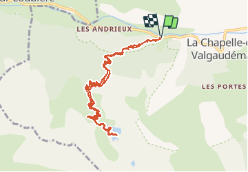

8.8 km | 13.6 km-effort


User


FREE GPS app for hiking
 SityTrail
IGN / Geographical institutes
SityTrail World
The world is yours!
Trail Walking of 12.5 km to be discovered at Provence-Alpes-Côte d'Azur, Hautes-Alpes, La Chapelle-en-Valgaudémar. This trail is proposed by patjobou.
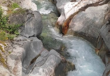
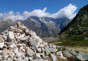
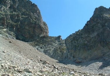
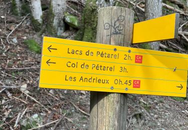
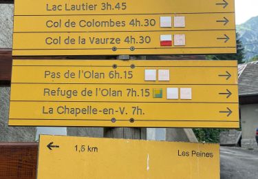
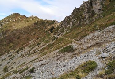
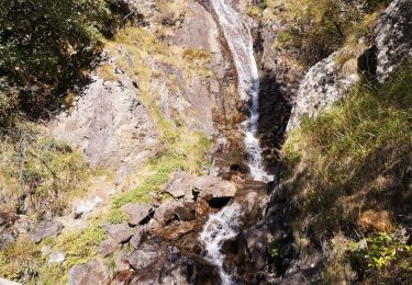
Une très belle sortie, face aux sommets de l'Oisan: Pic Turbat, Olan, Cime du Vallon, Rouies, Bans, Pic Jocelme. Montée soutenue par un sentier très bien tracé, et ombragé.


Walking

Walking
Walking
Walking
Walking
Walking
Walking
Walking
Walking